Access to the site |
From Nogent-le-Roi, the site of the wind turbine was reached by taking the road to Ormoy (D26) and then the D148 (Courville road) along the castle wall in the direction of the place called "La Place". The site of the wind turbine, the remains of which can still be seen, was located about 2 kilometres along this road, which is now cut off by a bypass. As a result, the road layout and the plot of land have changed significantly.
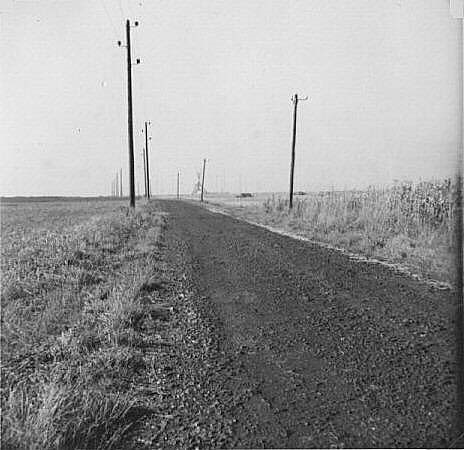
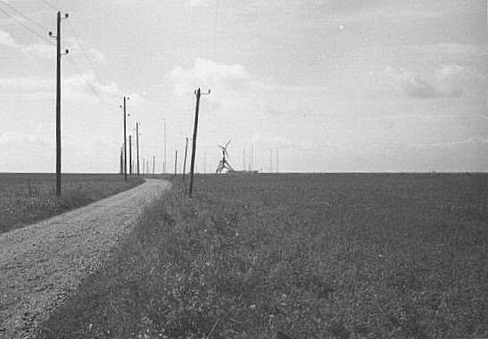
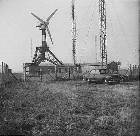
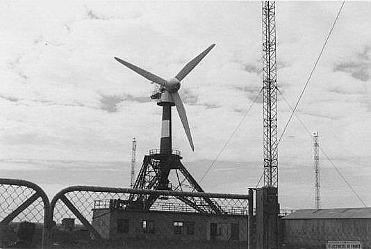
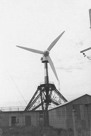
These photographs illustrate the impression the visitor had when arriving at the Wind Energy Research Station.
 |
 |
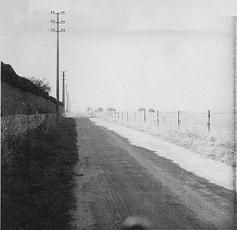
The D148 was called "Route de Courville" at the time. This road has since been moved. On the left are the castle wall and the 15,000 volt MV line. |
|
 |
 |
 |
 |
(Click on the pictures to see them at their real size).
Last update: May-18-2021 16:41:19 CEST

Back to the top of the page
Back to the top of the page